Getting Here and Around
Travel To & Around Carbondale
Carbondale is located in the Colorado Rocky Mountains, between Glenwood Springs and Aspen on Hwy 82, and west of I-70 and the 18-mile scenic Glenwood Canyon, and an easy drive from Denver, Grand Junction, Aspen, or Vail/Eagle airports. Get driving directions to Carbondale using the information below and start planning your trip today!
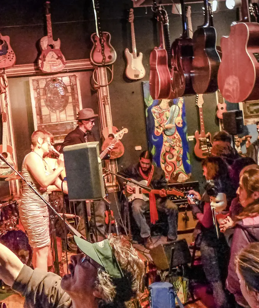
Carbondale is famous for attractions like Avalanche Ranch Hot Springs, the Powers Art Center, True Nature Healing Arts, the Carbondale Creative District, Marble Distilling Company, the Crystal and Roaring Fork rivers, and miles of hiking and biking trails, Come take it easy in Carbondale Colorado.
Driving
Carbondale is a scenic three-and-a-half-hour drive 175 miles west of Denver on Interstate-70. It is a 1.5-hour drive 90 miles east of Grand Junction.
For drivers of Electric Vehicles, there are numerous EV charging stations installed around downtown Carbondale. A map locating charging stations can be viewed here.
Bus
Ride the Bustang or Greyhound to Glenwood Springs from Denver, where RFTA offers multiple connections to Carbondale and the entire Roaring Fork Valley. The Carbondale Connector and RFTA provide free in-town shuttles and options for short to long-distance transportation. Learn more about the Carbondale Connector here.
Train
Amtrak’s California Zephyr travels the spectacular rail route from Chicago to San Francisco with daily stops in Glenwood Springs. The Glenwood Springs Train Depot is located in the heart of downtown Glenwood Springs and within walking distance of accommodations, dining, and attractions. Learn more about the train and how to connect to local bus services here.
Plane
Carbondale is served by four airports. Eagle/Vail is 45 miles east, Aspen is 30 miles south, Grand Junction is 100 miles west, and Denver International Airport is 190 miles east of Carbondale.
WE-cycle Bike Share in Carbondale
WE-cycle is available throughout Carbondale at many new stations accommodating 80 bikes/ebikes. That means that at any one time, up to 80 people can cycle in and around town for free 30-minute rides. Bikesharing provides an incredible opportunity to replace vehicle trips with emission-free bike commuting and errands pedaling, plus it is a faster way to travel distances too far to walk. You can also hop on one of our bikes for short trips to get some fresh air and exercise and use Carbondale’s extensive bike paths. WE-cycle bikes are available 24 hours a day and the Carbondale System is striving to be the only town in the Roaring Fork Valley providing reliable, free bicycle transportation every day of the year, weather dependent.
To view the system map and sign up, visit: www.we-cycle.org/carbondale/
Carbondale Downtowner
The Town of Carbondale, in partnership with the Roaring Fork Transportation Authority (RFTA), has launched the Carbondale Downtowner, a complimentary transportation service available to all residents and visitors within Carbondale town limits. This innovative service officially began operations on July 1st, 2024, providing a convenient and sustainable way to navigate our vibrant community. Learn More
The Valley Hopper
Experience the ultimate in comfort and convenience with The Valley Hopper. Whether you need a ride to the airport, a group outing, or a special event, they have got you covered. Their fleet of private SUVs and vans is designed to provide a luxurious and personalized experience. Learn More
Roaring Fork Gear Library
The Roaring Fork Gear Library is a local nonprofit dedicated to increasing accessibility to outdoor adventure and sports through free outdoor gear rentals for all seasons to members. An annual membership is $1 for Roaring Fork Valley residents, and $30 for visitors. Learn More